Cities are driven by myriad interests, opinions, and desires, making them increasingly complex systems. Planning urban environments that foster the local capacity for resilience calls for trans-disciplinary collaboration and broader public participation. For this, better means of communication are needed.
Extended reality (XR), as media and interface, holds a great potential for supporting urban planning processes in guiding discussions by providing immersive scenarios. It is an umbrella term for technologies that create, augment and merge digital elements within a physical space. XR consists of both virtual reality (VR), defined as interactive computer-generated experience taking place within a simulated environment, and augmented reality (AR), an interactive experience where computer-generated perceptual information is presented in a real-world environment.
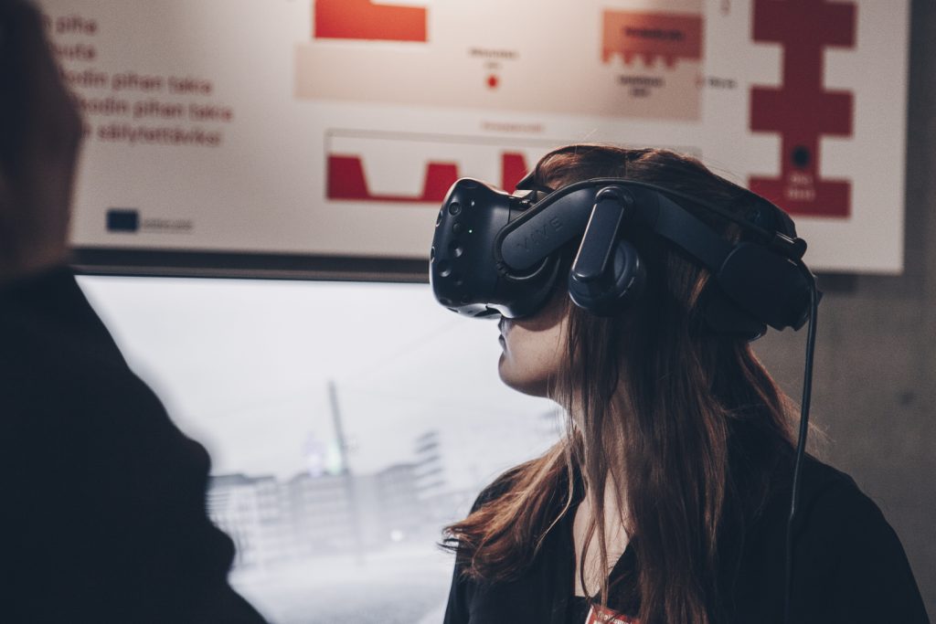
In virtual reality one immerses fully into the computer generated environment 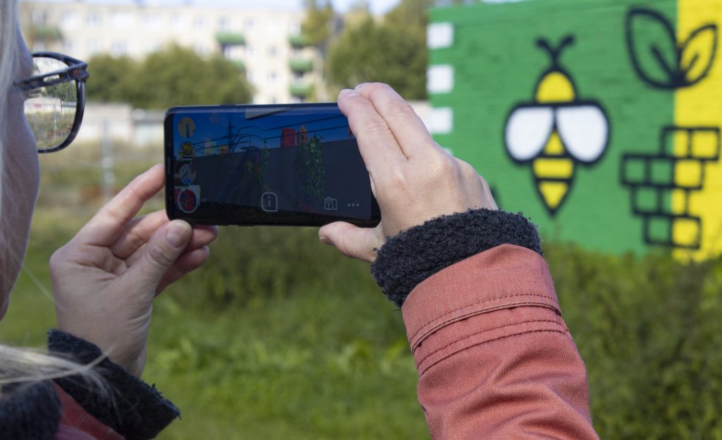
In augmented reality, the suroounding reality remains visible, but computer-generated elements are layered on top of it
In 2018, when Augmented Urbans set out to explore the ways for XR to support integrated urban planning and management, the field was still largely untapped with only relatively few applications and trials in existence in this field. The benchmark study visits and practical case studies conducted within the project in seven Central Baltic cities and municipalities have built the understanding of the current state and future visions. This chapter aims at compiling XR-related learning outcomes, best practice case examples and practitioner experiences from the three-year project run to offer guidance to urban planners.
The first article, Augmenting urban planning and management, introduces different approaches and mediums to utilise XR, as well as their perceived affordances and limitations with practical examples from the participating cities. Speculations on the integrated use of extended reality in urban planning, in turn, offers a perspective of a planning professional to the field, weighting the application potential for urban resilience-building. The third text, What can VR do for Stockholm?, reflects on a VR development process aiming at a more holistic approach to integrate nature-based solutions in urban planning.
Future prospects present the use of XR within the broader context of the digitalisation of urban planning, while Field notes on piecing together a data-driven decision-making platform brings us back with practitioner experiences working to achieve that future vision.